SKYTECH

GEOSPATIAL INFORMATION MANAGEMENT (GIM)

OVERVIEW

Geospatial information is crucial in various fields such as urban planning, environmental monitoring, agriculture, disaster management, transportation, and more. Effective Geospatial Information Management plays a vital role in informed decision-making and sustainable development.

Leveraging Location Context for Optimal Business Enhancement

Proliferation of location rich data at a rapid pace is throwing up new challenges to demystify large volumes of geospatial information for unlocking the untapped potential.

SkyTech offers Geospatial Information Management (GIM) solutions that are focused on providing actionable intelligence for informed decisions. Focused on assisting our customers to harness the geospatial value optimally, our end-to-end offering cut across the entire geospatial value chain.

Our data solutions, software solutions and consulting services are aimed at supporting our customers to overcome their business challenges for a sustainable growth.
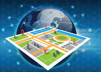
what we do

Data Collection and Analysis

One of the main tasks in GIM is collecting and analyzing geospatial data. We utilize advanced technologies such as remote sensing, satellite imagery, and GPS to gather accurate and up-to-date information. This data is then processed and analyzed to generate valuable insights and support decision-making processes.

Database Creation and Management

We have a team of experts who specialize in creating and managing geospatial databases. These databases store various types of information, such as maps, satellite images, demographic data, and more. Our skilled professionals ensure that the databases are organized, easily accessible, and updated regularly.

Mapping and Visualization

A significant part of GIM involves creating maps and visual representations of geospatial data. Our team uses advanced mapping software to develop interactive and dynamic maps that provide clear and meaningful information to users. These maps can be used for various purposes, including urban planning, infrastructure development, and natural resource management.

Spatial Analysis and Modeling

We utilize advanced spatial analysis techniques to examine relationships, patterns, and trends within geospatial data. By applying statistical methods and modeling tools, we can generate insights and predictions that aid in decision making. This enables our clients to make informed choices regarding resource allocation, risk assessment, and strategic planning.

Geospatial Infrastructure Development

Effective GIM requires a robust geospatial infrastructure. We assist our clients in developing the necessary infrastructure, including hardware, software, and networking systems. By providing reliable and scalable solutions, we ensure that our clients can efficiently manage and utilize geospatial information.

Training and Support

We understand that implementing GIM can be complex, especially for organizations that are new to this field. Therefore, we offer comprehensive training programs and ongoing support to help our clients make the most of their geospatial data. Our knowledgeable team provides guidance on data collection, analysis techniques, and software usage, ensuring that our clients have the necessary skills and resources to succeed in GIM.

In conclusion, our focus as SkyTech is to provide comprehensive and efficient Geospatial Information Management services. By utilizing advanced technologies, expertise, and a client-oriented approach, we strive to assist organizations in harnessing the power of geospatial data for better decision making and improved outcomes.

our solutions

SkyTech is adept at transforming geospatial data into knowledge for informed decisions. By automating data acquisition, data processing and data management we assist…

SkyTech software solutions help our customers to make sense out of the large volumes of location rich data by contextualizing and transforming them into spatial knowledge…

SkyTech HR consulting solutions assist you in augmenting skilled resources for your organization. Our technology consulting and managed services are designed based…

highlighting the advantages of GIM

Improved Decision Making

GIM provides accurate and timely geospatial data which enables the management team to make informed decisions. By integrating geospatial information into their decision-making processes, SkyTech IT Consultancy can optimize their strategies and achieve better outcome

Enhanced Resource Management

GIM allows for effective management of resources such as time, personnel, and equipment. By analyzing geospatial data, the company can identify areas of high demand and allocate resources accordingly, resulting in improved productivity and cost savings.

Efficient Project Planning and Execution

GIM provides valuable insights into geographical factors that may affect project planning and execution. By utilizing geospatial information, SkyTech IT Consultancy can identify potential obstacles or constraints in advance, enabling them to plan projects more efficiently and avoid unnecessary delays or costs.

Streamlined Logistics and Supply Chain Management

GIM facilitates efficient management of logistics and supply chain operations. By incorporating geospatial information into their logistics planning, SkyTech IT Consultancy can optimize routes, minimize transportation costs, and ensure timely delivery of goods and services.

You need to

Get In Touch With Us !

we solve your problems